John Mock & Kimberley O'Neil


Expedition Report

The Source of the Oxus River:
A Journey to the Wakhan Pamir & Across Dilisang Pass to Misgar
(July-August 2004)

by John Mock & Kimberley O'Neil

Go to >> 
INTRODUCTION |
PLANNING  | Politics  | What About Those Warlords  | How Do You Get There?  | Maps: Where's the Dilisang Pass?  | Speak to People in Their Own Language |
THE JOURNEY  | Islamabad: From Tourism to Interior Ministries  | Kabul to Faizabad: Meeting General Warduk  | Faizabad to Sarhad: The End of the Road in the Wakhan  | Wakhan: Trekking from Sarhad to Kashch Goz  | Little Pamir: Kashch Goz up the Wakhjir Valley  | The Source of the Oxus River: Is there an Ice-Cave?  | Kamansu: The Way to Dilisang  | Across Dilisang Pass to Misgar  | After You Marco Polo, But After Us … |

PICTURE GALLERY

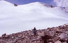
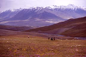
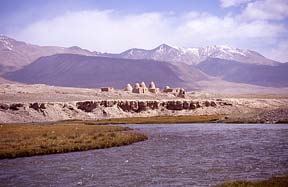
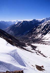
Descending from Uween-e-Sar (4,887m) View east from Aqbelis Pass (4,595m) Bozai Gumbaz
Lower Wakhjir Valley looking west back towards Aqbelis Pass Upper Wakhjir Valley looking east towards head of valley, Wakhjir Pass to left; Ice-cave to right Ice-cave, source of Oxus River, Wakhjir Valley, August 3, 2004
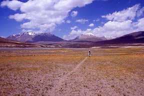
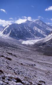
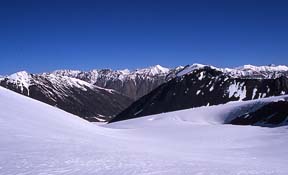
View south to upper Kamansu Valley from Dilisang Uween-e-Ben View north of Kamansu Valley View north from upper Kamansu Valley
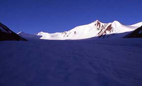
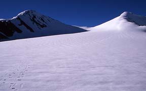
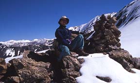
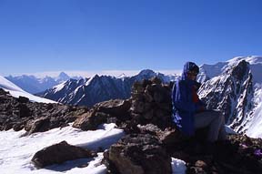
View south towards Dilisang Pass (center), August 6, 2004 Cairn and view north from Dilisang Pass (5,290m), August 6, 2004 View south into Pakistan from Dilisang Pass (5,290m), August 6, 2004
View north from Dilisang Pass<br />Looking back into Wakhan<br />Kamansu Valley in foreground, Wakhjir Valley in distance View south from Dilisang Pass<br />Looking down Dilisang Valley towards Misgar, Qarun Koh (7,164m) in distance
Back to >> Table of Contents
Forward to >> INTRODUCTION
Forward to >> PLANNING
Forward to >> THE JOURNEY

Forward to >> Expedition Report & Maps  


Site Map
Copyright Text & Photographs © John Mock & Kimberley O'Neil 1997-2024
All rights reserved. Unauthorized redistribution of this document is prohibited.